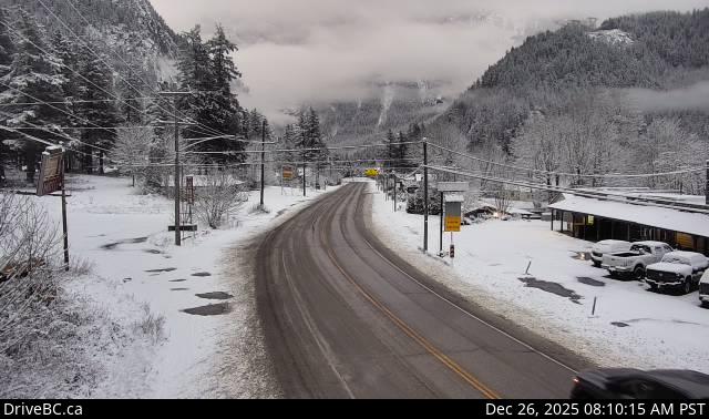
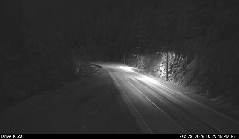
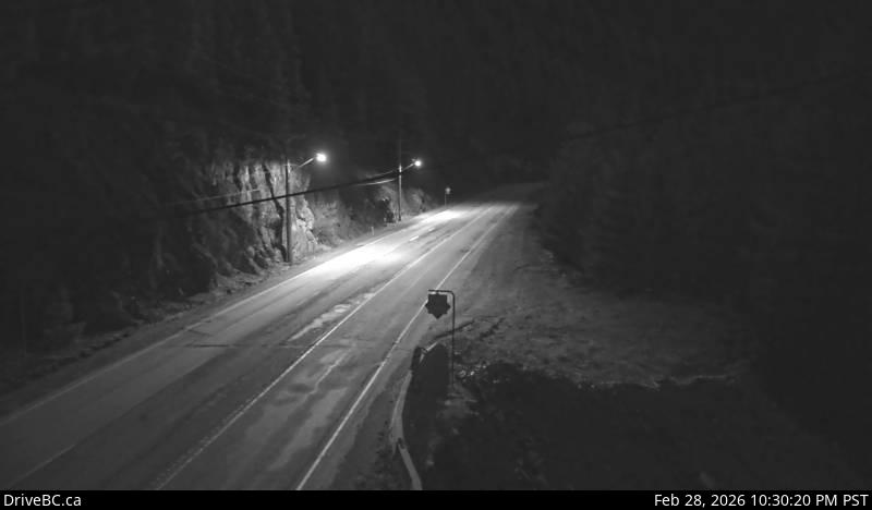
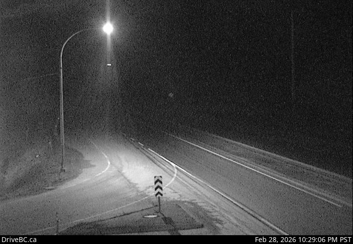
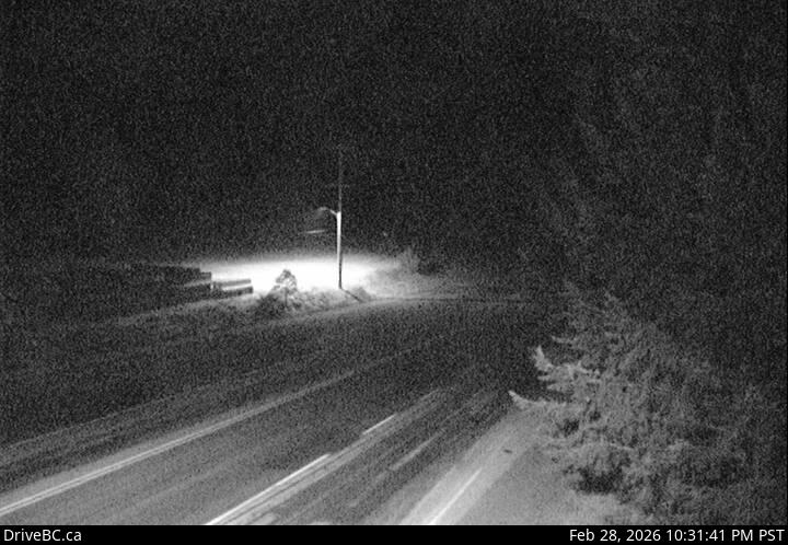
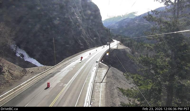
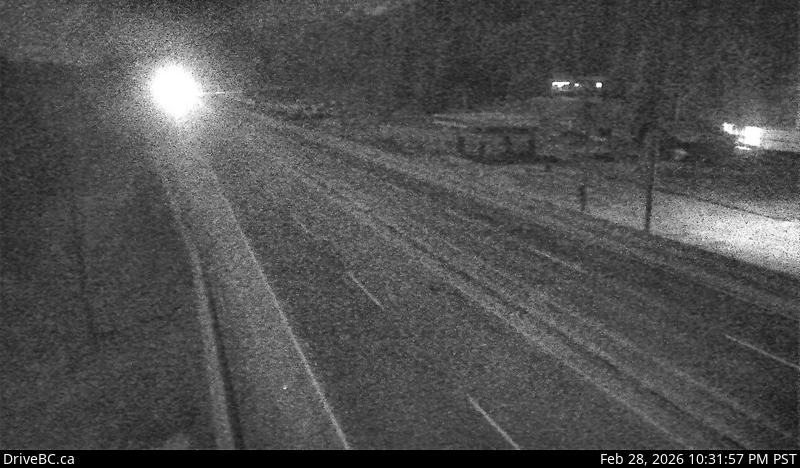
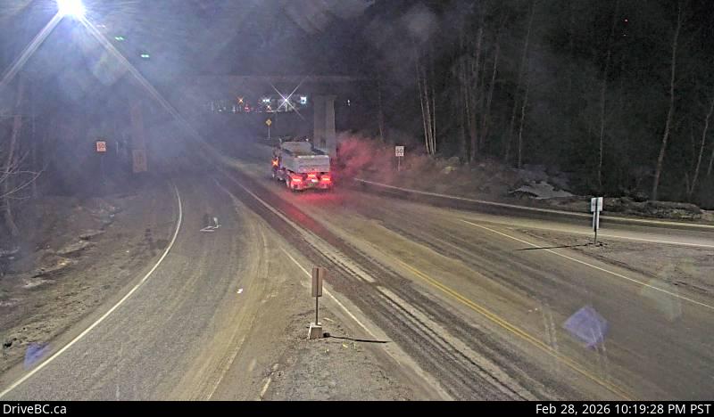
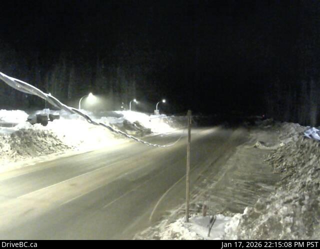
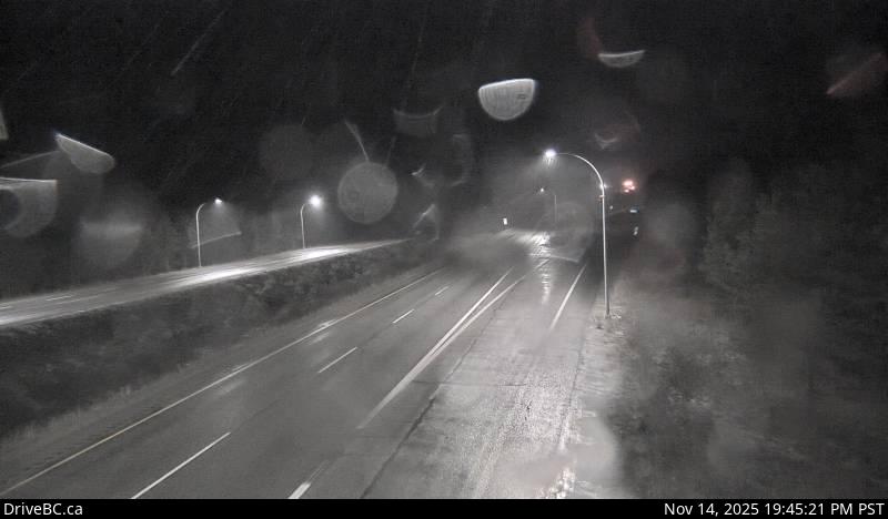
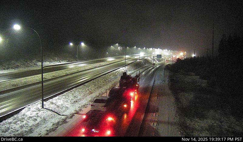
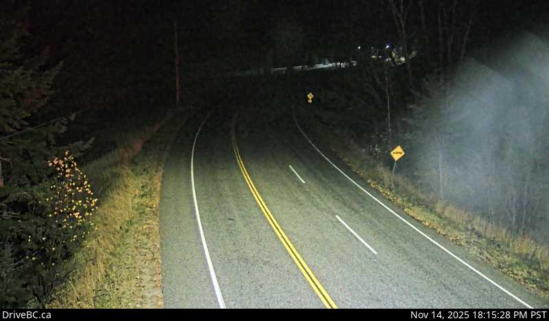
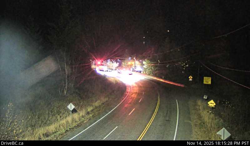
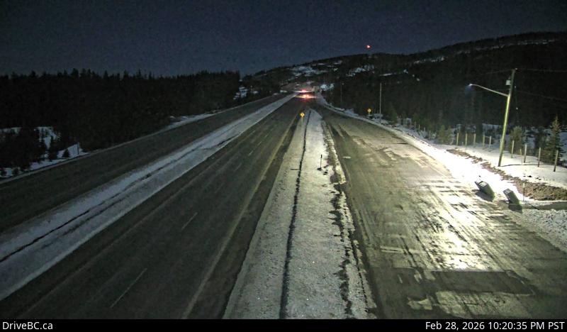
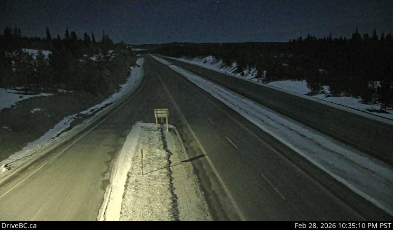
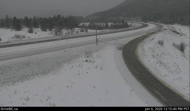
Yale - NHwy 1, at Victoria Street in Yale, looking north.Yale - SHwy 1, at Victoria Street in Yale, looking south.Alexandra Bridge - NHwy 1 at Alexandra Bridge, looking north.Alexandra Bridge - SHwy 1 at Alexandra Bridge, looking south.Hells Gate - NHwy 1 at Bradley Hill, about 3.5 km south of Hells Gate, looking north.Hells Gate - SHwy 1 at Bradley Hill, about 3.5 km south of Hells Gate, looking south.Boston Bar - NHwy 1 at Kahmoose Rd, 12 km north of Boston Bar, looking north.Boston Bar - SHwy 1 at Kahmoose Rd, 12 km north of Boston Bar, looking south.Jackass Mnt. SummitHwy 1 at Jackass Mt. Summit, between Boston Bar and Lytton, looking north.Spences BridgeHwy 1, on the west side of the Thompson River at the north end of Spences Bridge, looking north.
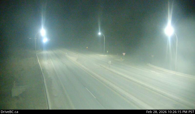
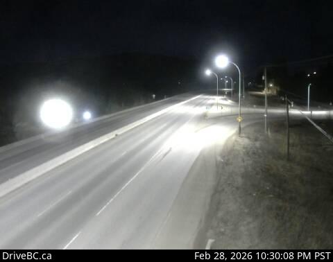
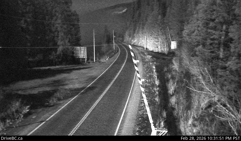
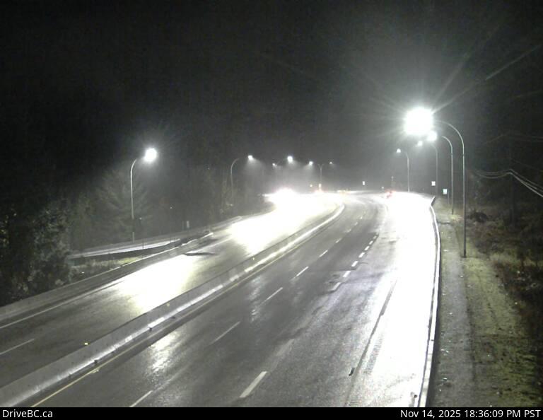
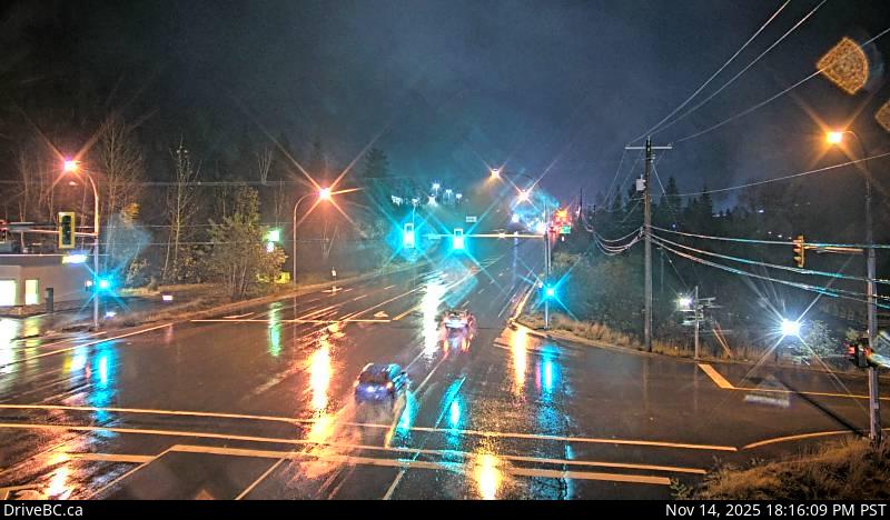
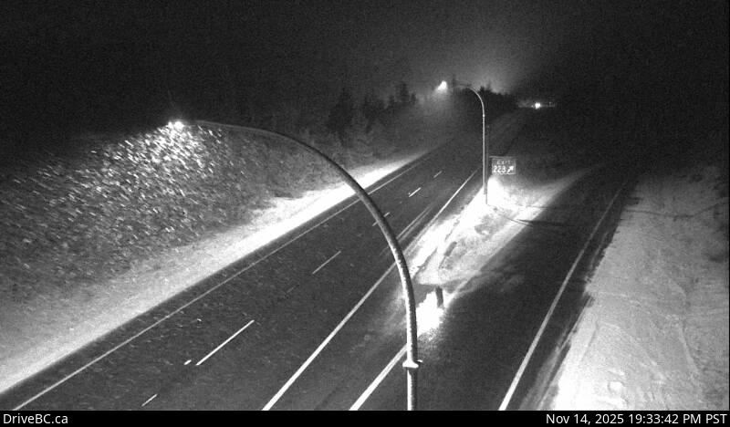
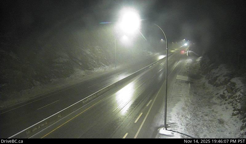
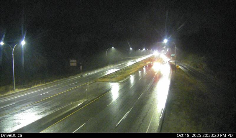
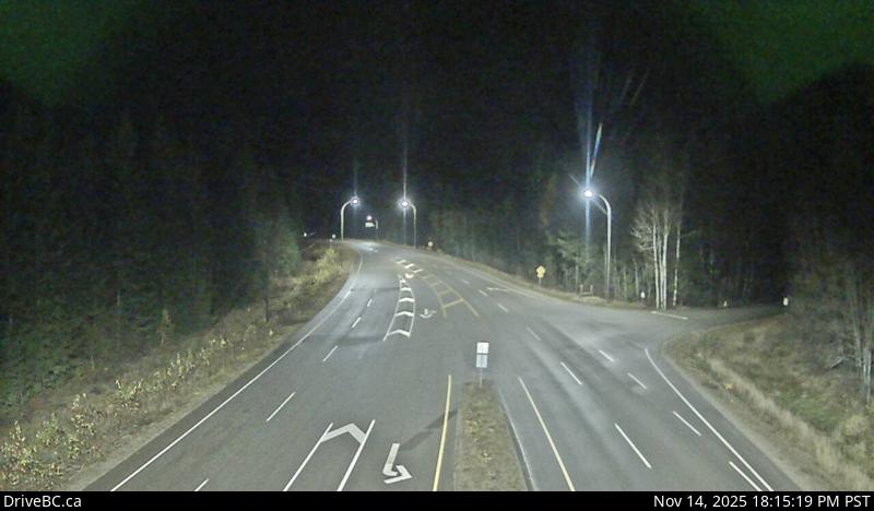
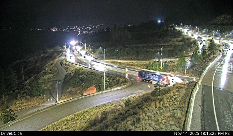
Cache CreekHwy 1 at Collins Rd, looking east on Hwy 1/97. SavonaHwy 1 at Holloway Drive, near Savona, looking west.Dufferin - WHwy 1 in Kamloops, east of Copperhead Drive, looking west.Dufferin - EHwy 1 in Kamloops, east of Copperhead Drive, looking east. KamloopsHwy 1 at Peterson Creek bridge in Kamloops, looking west. Miners Bluff - WHwy 1, between Monte Creek and Pritchard, looking west.Miners Bluff - EHwy 1, between Monte Creek and Pritchard, looking east.Squilax - WHwy 1, east Squilax Bridge, looking west.Squilax - EHwy 1, east Squilax Bridge, looking east.Sorrento - Blind BayHwy 1, at Highland Drive east of Sorrento at the Blind Bay turn off, looking southeast.Annis Pit - WHwy 1 at Annis Pit, 8 km southwest of Sicamous, looking west.Annis Pit - EHwy 1 at Annis Pit, 8 km southwest of Sicamous, looking east.Sicamous - WHwy 1, east of Sicamous at Cambie/Solsqua Roads, looking west.Sicamous - EHwy 1, east of Sicamous at Cambie/Solsqua Roads, looking east.Perry River - WHwy 1 near Perry River Bridge, about 30 km east of Sicamous, looking west.Perry River - EHwy 1 near the Perry River Bridge, about 30 km east of Sicamous, looking east.Eagle River - WHwy 1, about 33 km west of Revelstoke, looking west.Eagle River - EHwy 1, about 33 km west of Revelstoke, looking east.Griffin Lake - WHwy 1, by Griffin Lake, about 27 km west of Revelstoke, looking west.Griffin Lake - EHwy 1, by Griffin Lake, about 27 km west of Revelstoke, looking east.Three Valley Gap - WHwy 1, 20 km west of Revelstoke, looking west.Three Valley Gap - EHwy 1, 20 km west of Revelstoke, looking east.Clanwilliam Railway Overpass - WHwy 1, west of Revelstoke, looking west.Clanwilliam Railway Overpass - EHwy 1, west of Revelstoke, looking east.Boulder Hill - WHwy 1, about 7 km west of Revelstoke, looking west.Boulder Hill - EHwy 1, about 7 km west of Revelstoke, looking east.One-Mile Hill - WHwy 1, about 4 km west of Revelstoke, looking west.One-Mile Hill - EHwy 1, about 4 km west of Revelstoke, looking east.Hwy 1 at Hwy 23 - NHwy 1 at Hwy 23 in Revelstoke, looking north to Westside Road.Hwy 1 at Hwy 23 - WHwy 1 at Hwy 23 in Revelstoke, looking west.Hwy 1 at Hwy 23 - EHwy 1 at Hwy 23 in Revelstoke, looking east.Hwy 1 at Hwy 23 - SHwy 1 at Hwy 23 in Revelstoke, looking south to Hwy 23.RevelstokeHwy 1 at east end of Columbia River Bridge in Revelstoke, looking east.Albert CanyonHwy 1, about 30 km east of Revelstoke, looking east.Jack McDonald SnowshedHwy 1, about 46 km east of Revelstoke, looking east.Rogers PassHwy 1, near Parks Headquarters at Glacier National Park, 72 km east of Revelstoke, looking east.
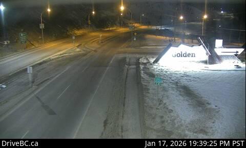
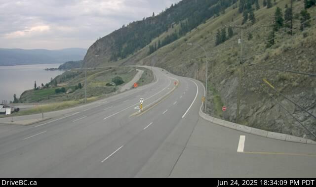
Quartz CreekHwy 1, 40 km west of Golden, near the Quartz Creek bridge, looking east.Donald Bridge - WHwy 1, about 28 km north of Golden at Donald Bridge, looking west.Donald Bridge - EHwy 1, about 28 km north of Golden at Donald Bridge, looking east.Blaeberry - WHwy 1, near Blaeberry River Bridge, looking northwest.Blaeberry - EHwy 1, near Blaeberry River Bridge, looking southeast.Golden - NHwy 1, at Hwy 95 interchange, looking northbound along Hwy 1.Golden - EHwy 1, at Hwy 95 interchange, looking east bound along Hwy 1.Golden - SHwy 1, at Hwy 95 interchange, looking southbound along Hwy 95.Kicking Horse CanyonHwy 1 (Kicking Horse Canyon) at 10 Mile Brake Check, looking east.Field - SWHwy 1 at Field Rd, about 16 km west of BC/Alberta border, looking southwest.Field - NEHwy 1 at Field Rd, about 16 km west of BC/Alberta border, looking northeastField - SEHwy 1 at Field Rd, about 16 km west of BC/Alberta border, looking southeast. elevation: 1253m
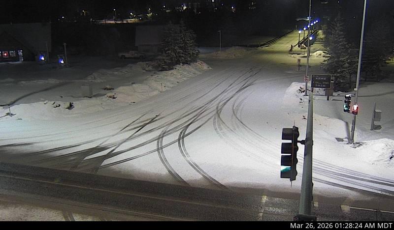
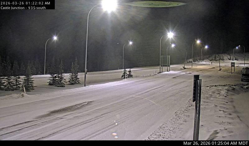
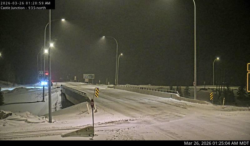
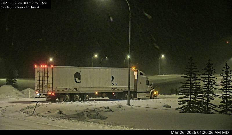
Lake Louise - WHwy 1 west of Lake Louise Overpass in Alberta, looking west.Lake Louise - EHwy 1 west of Lake Louise Overpass in Alberta, looking east.Castle Mountain - WHwy 1, at Hwy 93 South junction, looking west.Castle Mountain - EHwy 1, at Hwy 93 South junction, looking east.Castle Mountain - SHwy 1, at Hwy 93 South junction, looking south.Banff - WHwy 1, east of Sunshine ski hill overpass in Alberta, looking west.Banff - EHwy 1, east of Sunshine ski hill overpass in Alberta, looking east.
Highway 3
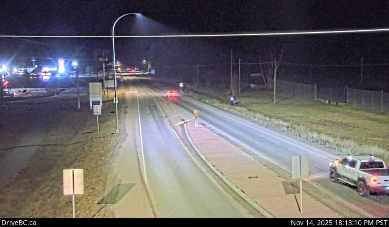
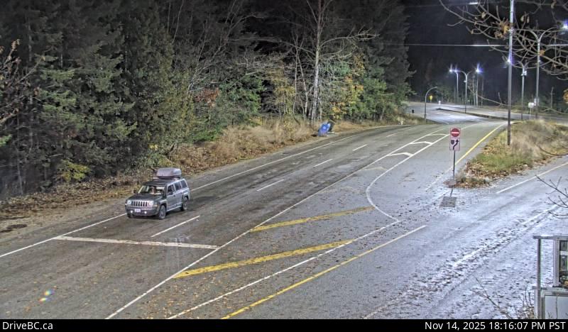
Hwy 3 at Hwy3/5 JctHighway 3 at 3/5 junction looking east.Hope SlideHwy 3 at the Hope Slide pullout, looking east.Allison PassHwy 3 at Allison Pass, 10 km west of Manning Park resort area, looking east.Sunday SummitOn Hwy 3, approximately 32 km south of Princeton, looking north.PrincetonHwy 3 at Frontage Rd on the west side of Princeton, looking south.Bromley Rock - WHwy 3, about 1.4 km east of Bromley Rock Provincial Park, looking west.Bromley Rock - EHwy 3, about 1.4 km east of Bromley Rock Provincial Park, looking east.Keremeos - WHwy 3 at Keremeos Bypass Rd, looking west. Row 19Rock CreekHwy 3 at Hwy 33 junction in Rock Creek, looking north-west.Midway - WHwy 3 in Midway, at Florence St, looking west.Midway - EHwy 3 in Midway, at Florence St, looking east.Midway - SHwy 3 in Midway, at Florence St, looking south.Eholt SummitHwy 3 at Eholt Summit, east of Greenwood, looking west bound.Christina LakeHwy 3 at East Lake Drive on east side of Christina Lake, looking northwest.Paulson SummitHwy 3, about 3 km east of Paulson Summit, looking west.CastlegarHwy 3 at 14th Ave. in Castlegar, looking east.Bombi PassHwy 3, at the Bombi Summit, approximately 22 km south-east of Castlegar, looking west.Meadows JctHwy 3 at Hwy 3B junction looking westbound.SalmoHwy 3 at Hwy 6, looking west on Hwy 3.Kootenay PassHwy 3, Salmo Creston Highway Summit, looking east.CrestonHwy 3 and Hwy 3A junction at Creston, looking southeast.Leadville RdHwy 3, in Kitchener about 18 km east of Creston, looking east.YahkHwy 3 at Hwy 95, Yahk Weigh Scale, looking north-east.Irishman - NHwy 3, about 21 km southwest of Moyie, looking north.Irishman - SHwy 3, about 21 km southwest of Moyie, looking south.Moyie LakeHwy 3, near the south end of Moyie Lake, looking north.CranbrookHwy 3/95 at 9th Ave. in Cranbrook, looking northeast.MorrisseyHwy 3, about 10km south of Fernie at Morrissey Jct, looking north.HosmerHwy 3, in Hosmer, north of Fernie, looking north-eastSparwoodHwy 3 at Sparwood weigh scale, about 2 km west of the Alberta border, looking south-east.Elko - WHwy 3, about 1 km west of Elko at Hwy 93 junction, looking west.Elko - EHwy 3, about 1 km west of Elko at Hwy 93 junction, looking east.Elko - SHwy 3, about 1 km west of Elko at Hwy 93 junction, looking south.
Highway 3A
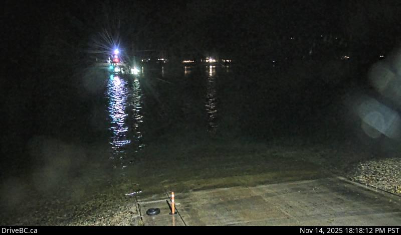
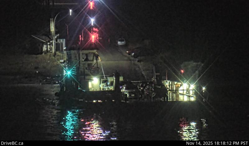
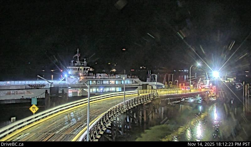
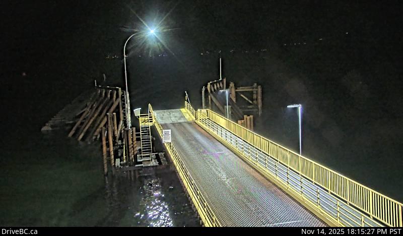
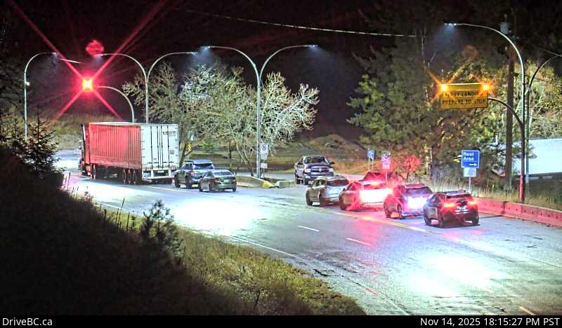
Harrop FerryHarrop Ferry Landing on the south side of Kootenay Lake, looking north.Harrop Ferry Landing North ViewHarrop Ferry Landing, on south side of Kootenay Lake, looking at the north side landing.Harrop Ferry Landing South ViewHarrop Ferry Landing, looking south at northbound line-up.Balfour Ferry TerminalBalfour inland ferry terminal, looking north towards Hwy 3A.Balfour Ferry RampBalfour inland ferry terminal, looking south to ferry loading ramp. (elevation: 535 metres)
Kootenay Bay Ferry TerminalKootenay Bay Ferry Terminal, looking northeast on Hwy 3A.Kootenay Bay Ferry RampKootenay Bay Ferry Landing, looking southwest to ferry ramp. (elevation: 538 metres)Sanca CreekHwy 3A near Sanca Creek, 1.6 km south of Sanca Creek Bridge, looking south.Kaleden - NHwy 3A at Hwy 97 junction, just south of Kaleden Weigh Scale, looking north.Kaleden - WHwy 3A at Hwy 97 junction, just south of Kaleden Weigh Scale, looking west.Kaleden - SHwy 3A at Hwy 97 junction, just south of Kaleden Weigh Scale, looking south.Yellow Lake - WHwy 3A (Kaleden to Keremeos), near Sheep Creek Road, looking west.Yellow Lake - EHwy 3A (Kaleden to Keremeos), near Sheep Creek Road, looking east.
Highway 3B
Strawberry PassHwy 3B, about 15 km north of Rossland and 4 km south of summit, looking north.Rossland - WestHwy 3B at Hwy 22 (Rossland Weigh Scale) looking west on Hwy 22.Rossland - EastHwy 3B at Hwy 22 near the Rossland Weigh Scale, looking east on Hwy 22. (elevation: 1071 metres)
Rossland - SouthRossland - S Hwy 3B at Hwy 22 near the Rossland Weigh Scale, looking south on Hwy 3B. (elevation: 1071
metres)TrailHwy 3B at Devito Drive, looking east.
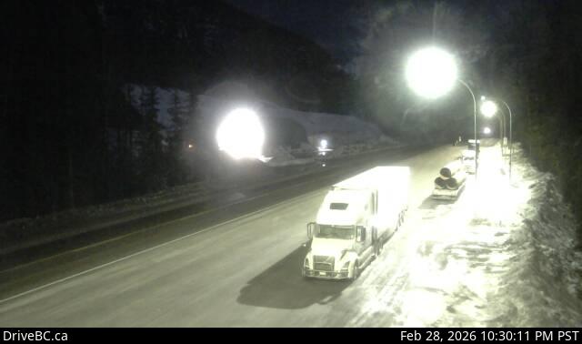
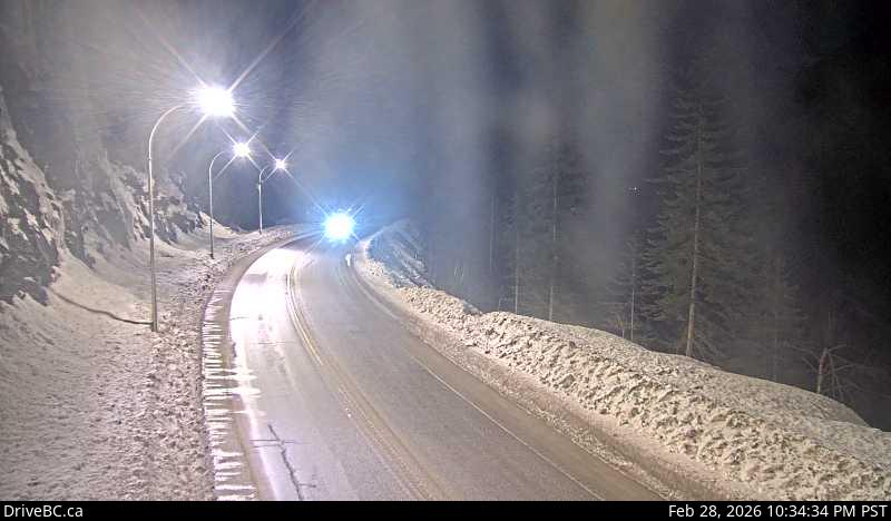
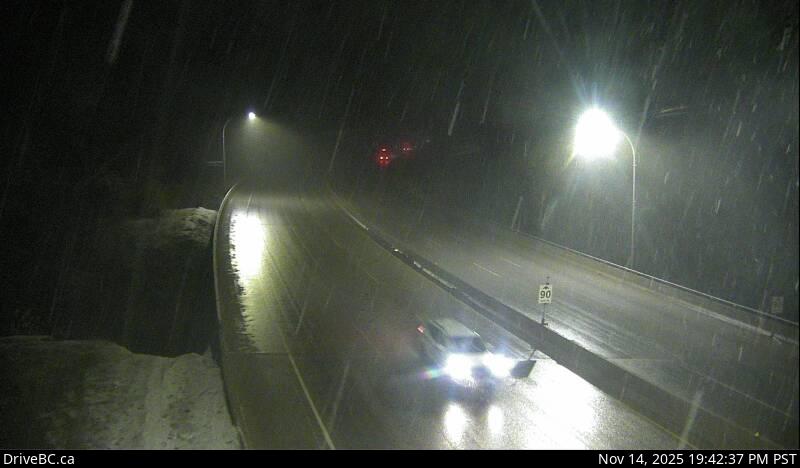
WalloperHwy 5, about 30 km south of Kamloops, looking north.Helmer LakeHwy 5, 24 km north of Merritt at Helmer Interchange, looking north.ComstockHwy 5 at Comstock Rd, about 15 km south of Merritt, looking north.Larson Hill - NHwy 5 at Larson Hill, 36 km south of Merritt, looking north.Larson Hill - SHwy 5 at Larson Hill, 36 km south of Merritt, looking south.Mine CreekHwy 5 southbound, at Mine Creek Rd, looking south.Britton Creek - NHwy 5, by Britton Creek Rest Area northbound turnoff, looking north.Britton Creek - SHwy 5, by Britton Creek Rest Area northbound turnoff, looking south.Coquihalla Lakes - NHwy 5, 61km south of Merritt, looking north.Coquihalla Lakes - SHwy 5, 61km south of Merritt, looking south.Coquihalla Summit - NHwy 5, about 7 km north of Zopkios Brake Check, looking north.Coquihalla Summit - SHwy 5, about 7 km north of Zopkios Brake Check, looking south.Zopkios Southbound - NHwy 5, southbound at Zopkios Rest Area, near the Coquihalla Summit, looking northeast.Zopkios Southbound - SHwy 5, southbound at Zopkios Rest Area, near the Coquihalla Summit, looking southwest.Zopkios Northbound - NHwy 5, northbound at Zopkios Rest Area, near the Coquihalla Summit looking north.Zopkios northbound - SHwy 5, northbound at Zopkios Rest Area, near the Coquihalla Summit looking south.Coquihalla Great Bear Snowshed - NHwy 5, Great Bear Snowshed looking north.Coquihalla Great Bear Snowshed - SHwy 5, Great Bear Snowshed looking south.Box Canyon - NHwy 5, near Box Canyon Chain-up Area, looking north.Box Canyon - SHwy 5, near Box Canyon Chain-up Area, looking south.Portia - NHwy 5, by northbound Portia Chain Up, looking north.Portia - SHwy 5, by northbound Portia Chain Up, looking south.Othello - NHwy 5 at Othello, about 11 km east of Hope, looking north.Othello - SHwy 5 at Othello, about 11 km east of Hope, looking south.
Highway 6
Shuswap Hill - WHwy 6, Shuswap Hill west of Cherryville, looking west.Shuswap Hill - EHwy 6, Shuswap Hill west of Cherryville, looking east.Monashee PassHwy 6, 83 km east of Vernon, looking westbound.Needles Ferry Bend EndHwy 6 at Needles Ferry Landing, looking west away from ferry landing towards Needles Rd N. (elevation:
466 metres)Needles Ferry Bend MiddleHwy 6 at Needles Ferry Landing, looking east to ferry landing. (elevation: 466 metres)Needles Ferry Rest AreaHwy 6 at Needles Ferry Landing, looking east towards front of line up near the rest area. (elevation:
466 metres)Needles Ferry - WHwy 6 at Needles Ferry landing, looking west.Needles Ferry - EHwy 6 at Needles Ferry landing, looking east. Fauquier Ferry - WHwy 6 at Fauquier ferry landing, looking west.Fauquier Ferry - EHwy 6 at Fauquier ferry landing, looking east.Burton Main RoadHwy 6, in Burton at Burton Main Rd, about 22 km north of Fauquier, looking south.NakuspJunction of Hwy 6 and Hwy 23 in Nakusp, looking south along Hwy 6.New DenverHwy 6 at Hwy 31A in New Denver, looking north.Lemon CreekHwy 6 at Kennedy Rd, looking south near Lemon Creek, about 8km south of Slocan.Playmor Junction - NHwy 6 at Hwy 3A in Playmor Junction, looking north.Playmor Junction - WHwy 6 at Hwy 3A in Playmor Junction, looking west.Playmor Junction - SHwy 6 at Hwy 3A in Playmor Junction, looking south.Nelson - NHwy 6 near Hwy 3A and Rosemont/Uphill interchange, looking north.Nelson - SHwy 6 near Hwy 3A and Rosemont/Uphill interchange, looking south.WhitewaterHwy 6, at Whitewater Ski Hill Rd about 12.5 km south of Nelson, looking north.YmirHwy 6, in Ymir at First Ave, looking south.
Highway 20
HagensborgHwy 20, between Bella Coola and Hagensborg, looking west.Heckman SummitHwy 20, about 88 km from Bella Coola and 41 km from Anahim Lake, near gate at top of Bella Coola hill,
looking west.Anahim LakeHwy 20, near Anahim Lake, about 140 km east of Bella Coola, looking west.Alexis CreekHwy 20, in Alexis Creek at Stum Lake Rd, looking west.
Highway 23
Mica DamHwy 23 at Mica Dam, about 152 km north of Revelstoke, looking south.50-MileHwy 23, 90 km north of Revelstoke, looking north.Shelter Bay - MiddleHwy 23, near the Upper Arrow Lake ferry landing at Shelter Bay, middle of queue, looking north.
Shelter Bay - FrontHwy 23, near the Upper Arrow Lake ferry landing at Shelter Bay, front of queue, looking north.
Galena Bay Landing - FrontHwy 23, near the Upper Arrow Lake ferry landing at Galena Bay, looking at front of lineup.
Galena Bay Landing - MiddleHwy 23, near the Upper Arrow Lake ferry landing at Galena Bay, looking at middle of lineup.
Galena Bay Landing - EndHwy 23, near the Upper Arrow Lake ferry landing at Galena Bay, looking at end of lineup.
Highway 24
Sheridan Lake - WHwy 24, 63 km west of Little Fort, looking west. Sheridan Lake - EHwy 24, 63 km west of Little Fort, looking east. McDonald SummitHwy 24, 15 km west of Little Fort, looking west.
Highway 26
WellsHwy 26, near Wells, about 78 km east of Quesnel, looking west.
Highway 31
Kaslo - NHwy 31 at Hwy 31A Junction in Kaslo, looking north.Kaslo - WHwy 31 at Hwy 31A Junction in Kaslo, looking west.Kaslo - SHwy 31 at Hwy 31A Junction in Kaslo, looking southeast.Coffee CreekHwy 31, 45 km north of Nelson and 25km south of Kaslo, looking north.Cooper CreekHwy 31, at Duncan Lake Rd, about 35 km north of Kaslo, looking south.
Highway 31A & 33
RetallackHwy 31A, at Retallack between New Denver and Kaslo, looking west.McCullochHwy 33, 41 km southeast of Kelowna, just south of Big White turnoff, looking north.HighbridgeHwy 33, about 14 km north of Westbridge and 20 km south of Beaverdell, looking north.
Highway 43
Elkford - NHwy 43 at Fording River Road in Elkford, looking north.Elkford - WHwy 43 at Fording River Road in Elkford, looking west.Elkford - EHwy 43 at Fording River Road in Elkford, looking east.Elkford - SHwy 43 at Fording River Road in Elkford, looking south.Line Creek RoadHwy 43, between Sparwood and Elkford at Line Creek Mine Rd, looking north.
Highway 93
Radium Hot SpringsHwy 93/95 junction, at Radium Hot Springs, looking east on Hwy 93Panorama - WOn Toby Creek Road at Panorama Fire Hall, near Springs Creek Rd, looking west.Panorama - EOn Toby Creek Road at Panorama Fire Hall, near Springs Hill Rd, looking east.Canal FlatsHwy 93 at Burns Avenue, looking south on Hwy 93.Wasa
Highway 95 & 95A
BriscoHwy 95 in Brisco, at Brisco Road, looking north.KimberleyHighway 95A at Black Bear Crescent, about 3 km south of Kimberley looking southwest.
Highway 97 - Southern Interior Region
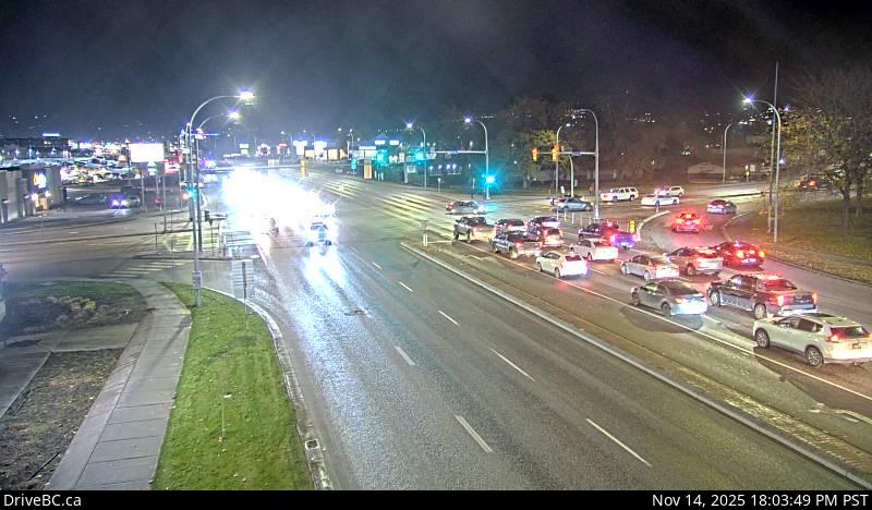
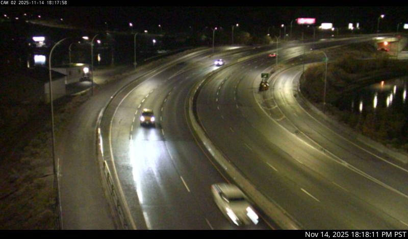
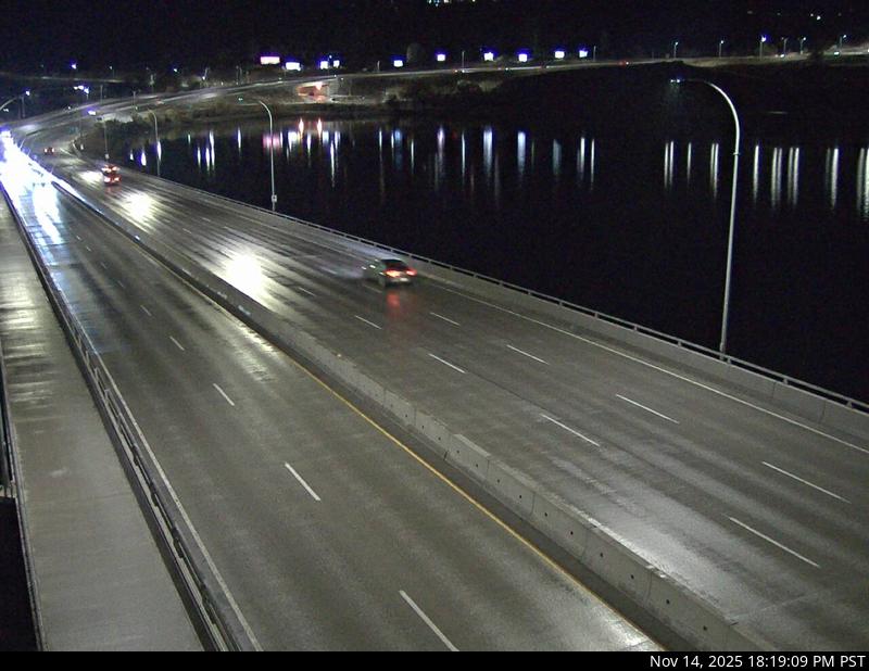
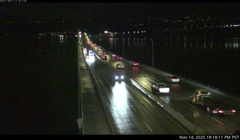
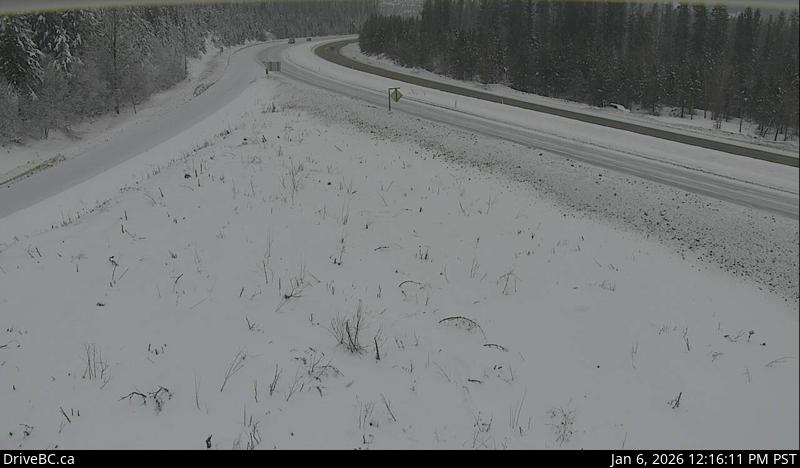
HixonHwy 97 at Swanson Road near Hixon, looking north.Hush LakeHwy 97, about 25 km north of Quesnel near Hush Lake Rd, looking north.Dragon Lake - NHwy 97, at Sales Rd, about 10 km south of Quesnel, looking north.Dragon Lake - WHwy 97, at Sales Rd, about 10 km south of Quesnel, looking west.Dragon Lake - EHwy 97, at Sales Rd, about 10 km south of Quesnel, looking east.Dragon Lake - SHwy 97, at Sales Rd, about 10 km south of Quesnel, looking south.McLeese Lake - WHwy 97 and Beaver Lake Rd junction north of McLeese Lake, looking west.McLeese Lake - EHwy 97 and Beaver Lake Rd junction north of McLeese Lake, looking east.McLeese Lake - SHwy 97 and Beaver Lake Rd junction north of McLeese Lake, looking south.Enterprise - NHwy 97, 37 km south of Williams Lake, looking north.Enterprise - SHwy 97, 37 km south of Williams Lake, looking south. Begbie SummitHwy 97, Begbie Summit, 100 Mile House area, looking north.Big BarHwy 97, 8 km north of Clinton just before Big Bar rest area, looking north.Monte Creek Brake Check - NHwy 97 at the Monte Creek brake check, looking north.Monte Creek Brake Check - SHwy 97 at the Monte Creek brake check, looking south.FalklandHwy 97 at Silvernails Road near Falkland, looking southeast.Kalamalka LookoutHwy 97 at Vista Road turnoff south of Vernon, looking north. Lake Country - NHwy 97, in Lake Country, by Wood Lake, looking north.Lake Country - SHwy 97, in Lake Country, by Wood Lake, looking south.KelownaHwy 97 at Hwy 33 in Kelowna, looking North on Hwy 97.WR Bennett Bridge 02West end of WR Bennett Bridge connecting Kelowna and West Kelowna, looking west.WR Bennett Bridge 04Mid span of WR Bennett Bridge connecting Kelowna and West Kelowna, looking west.WR Bennett Bridge 07East end of WR Bennett Bridge connecting Kelowna and West Kelowna, looking west.WR Bennett Bridge 11East approach to WR Bennett Bridge at Abbott Street, looking west along Hwy 97.Hwy 97 at Hwy 97C - NHwy 97 at Hwy 97C junction, about 5 km south of Westbank, looking north.Hwy 97 at Hwy 97C - WHwy 97 at Hwy 97C junction, about 5 km south of Westbank, looking west.Hwy 97 at Hwy 97C - EHwy 97 at Hwy 97C junction, about 5 km south of Westbank, looking east.Hwy 97 at Hwy 97C - SHwy 97 at Hwy 97C junction, about 5 km south of Westbank, looking south.Callan RdHwy 97 at Callan Rd, about 6 km north of Summerland, about 15 km south of Peachland. Looking south.
SpallumcheenHwy 97A at Larkin Cross Rd, about 14km north of Vernon, looking north.
Highway 97A & 97C
SpallumcheenHwy 97A at Larkin Cross Rd, about 14km north of Vernon, looking north.Highland Valley RdHwy 97C, at Highland Valley Rd, about 61 km north of Merritt and 46 km south of Ashcroft, looking
north.Aspen Grove - NHwy 97C (Okanagan Connector), at Hwy 5A Junction, near Aspen Grove, looking north.Aspen Grove - SHwy 97C (Okanagan Connector), at Hwy 5A Junction, near Aspen Grove, looking south.Pothole Lake - WHwy 97C (Okanagan Connector), near Pothole Lake about 7 km east of Aspen Grove, looking west.
Pothole Lake - EHwy 97C (Okanagan Connector), near Pothole Lake about 7 km east of Aspen Grove, looking east.
Elkhart - WHwy 97C (Okanagan Connector, about 25 km east of Hwy 5A/97C Jct, looking west.Elkhart - EHwy 97C (Okanagan Connector, about 25 km east of Hwy 5A/97C Jct, looking east.Pennask SummitHwy 97C (Okanagan Connector), about 74 km west of Kelowna, looking east.Brenda Mine - WHwy 97C (Okanagan Connector), about 22 km west of 97/97C Jct, looking west.Brenda Mine - EHwy 97C (Okanagan Connector), about 22km west of 97/97C Jct, looking east.
Highway 99 - Lillooet to Cache Creek
Lillooet-Fountain ValleyHwy 99, near Fountain Slide, about 15 km north of Lillooet, looking southwest.